3D Scanning Services Providing Technical Design To Architects, Owners, and Builders.

About Us
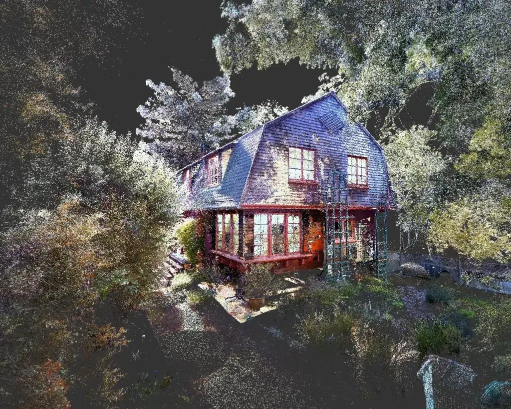
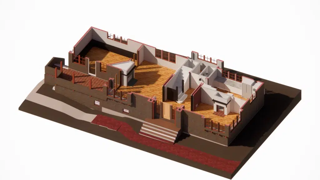
Ground Truth works with owners, architects, and developers to document buildings and explore their development potential. We quickly create detailed 3D existing conditions plans and thoroughly document spaces and sites with 360° photography to enable remote viewing and collaboration. We use a combination of laser (LiDAR) scanning, 360° photography, visual AI and 3D rendering technologies to provide readily accessible, accurate data to improve planning and communication.
Ground Truth uses highly accurate LiDAR survey scanners and drone technology to capture buildings in 3D. We can use your Revit, AutoCAD, or SketchUp templates, families, and objects to create high-quality existing conditions and as-built models. All projects are delivered with a web interface allowing you to view and share the models and point clouds with no special software or training.

Most projects include comprehensive 360° photo documentation allowing designers and their clients to review the building from their computer.
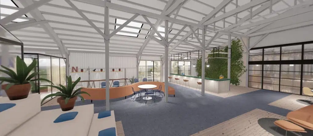
Ground Truth offers rapid test-fit and layout services including sketch and high-quality renderings in VR format allowing designers and clients to virtually move through spaces without a headset.

Ground Truth offers 3D scanning services and modeling worldwide.
Send us an email at [email protected] with a description of your project.
