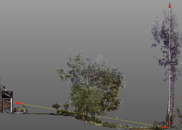
Ground Truth 3D

Stories

The projects we document, the tools we use, and the people we meet along the way. Field notes on existing conditions documentation, LiDAR, BIM, and building the digital record your team can trust.

Explore services Get in Touch

Case study

SFYC Piling Documentation

Mapping and Photographing Under the Docks

Custom scan platforms, kayak access at low tide, and a georeferenced model for column grids, tilt analysis, and sea-level visualization at the San Francisco Yacht Club.

Read full story
Evergreen

What (the Heck) is BIM?

CAD, BIM, Plans and 3D

From rolled drawings to LOD200 models from LiDAR and 360° photos—why BIM objects beat flat CAD, and how simplified existing-conditions models set up the next design phase.

Read full story

You’ve reached the end of the feed.

Back to home